
Peak Hurricane Season: What September Actually Feels Like Here
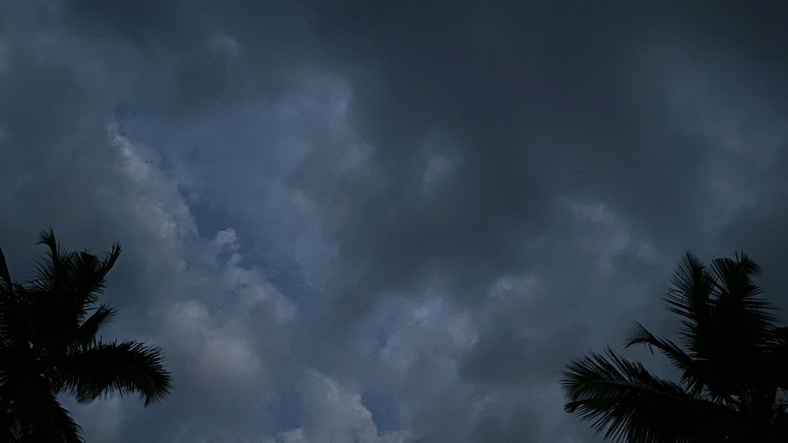
Your first September on the Gulf Coast is different from every September after it. That first one, every tropical wave coming off Africa feels personal. You refresh the forecast five times a day. Someone shows you a spaghetti model and you don't sleep well.
By your third or fourth season, you've developed the thing every Florida resident eventually develops: a calibrated, unexcited attention to the tropics that looks a lot like how people in Minnesota watch a snow forecast.
Getting from the first version to the second is mostly about information. Here's what September actually involves.
The Statistical Picture
Atlantic hurricane season runs June 1 through November 30. Activity isn't distributed evenly across it. The season ramps through August, peaks around the second week of September, and tapers through October and into November.
September is when the conditions align: water temperatures at their annual maximum, favorable atmospheric patterns, and the Cape Verde season producing long-track storms that cross the Atlantic.
That said, the Gulf Coast has its own pattern. We can get systems that form quickly in the Gulf with much less lead time than a long-track Atlantic storm, and October storms have historically been significant for this coast.
Our guide to hurricane season on the Gulf Coast covers the seasonal shape in more detail.
How to Actually Watch the Tropics
The single most useful skill is knowing which information to pay attention to and which to ignore.
Use the National Hurricane Center
The NHC is the authoritative source. Their advisories, forecast discussions, and graphics are what local emergency managers and meteorologists are working from. Go to the source rather than to aggregators.
The forecast discussion, written in plain language by the forecaster on duty, is genuinely worth reading. It tells you how confident they are and what the uncertainties are, which the graphics can't convey.
Understand the Cone
The forecast cone is the most misread graphic in American media. It shows the probable track of the center of the storm, and historically the center stays within it about two thirds of the time.
Two things it does not show: the size of the storm, and where impacts will occur. A large hurricane produces damaging wind, surge, and rain far outside the cone. Being outside the cone does not mean you're fine.
Look instead at the specific hazard products: storm surge warnings, wind field forecasts, and rainfall outlooks.
Ignore the Long-Range Model Spaghetti
Those charts showing dozens of colored lines going everywhere, shared at day eight of a storm's life, are close to meaningless for planning. Individual model runs at long range have enormous error. Social media accounts that post them for engagement are not helping you.
Useful planning generally begins around three to five days out. Before that, the appropriate response is awareness, not action.
Follow Local Emergency Management
Sarasota County and Manatee County emergency management issue the decisions that actually affect you: evacuation orders, shelter openings, school closures, and bridge closures. Sign up for their alert systems when you move here. That's a first-week task, not a September task.
Local broadcast meteorologists are also genuinely valuable during an event, because they translate the national forecast into what it means for specific communities here.
Know Your Zone Before You Need To
This is the most important single item in this article.
Evacuation zones in Florida are based on storm surge vulnerability, not on wind. They're lettered, and orders are issued by zone. Knowing yours, and knowing it now, means that when an order comes you simply act rather than trying to figure out whether it applies to you while everyone else is doing the same thing.
Your evacuation zone is different from your flood insurance zone. Both matter and they're not the same thing. Our guide to flood zones and evacuation zones in Sarasota explains how to look up both.
Also know whether you live in a mobile or manufactured home, which are typically evacuated regardless of zone due to wind vulnerability.
The Decision That Matters Most
Here's the framing that local emergency managers use, and it's clarifying: you evacuate from water, and you shelter from wind.
Storm surge is what kills people. If you're in a surge evacuation zone and an order is issued for your zone, leave. That's not a judgment call.
If you're inland, in a well-built modern home, outside a surge zone, the standard guidance is generally to shelter in place rather than putting yourself on a congested highway.
And critically: evacuating usually means going tens of miles, not hundreds. Getting out of the surge zone to a friend's house inland, or to a shelter, accomplishes the goal. Driving to Atlanta is rarely necessary and often puts you in worse danger on gridlocked roads.
Decide your trigger and destination in advance. "If my zone is called, we go to X" is a plan. Figuring it out at hour thirty-six is not.
The Rhythm of an Approaching Storm
Once you've been through a couple, the cadence becomes familiar.
Five to seven days out: awareness. You note it exists. You do nothing.
Four to five days out: if the forecast trend involves us, top off the car's fuel, check your supplies, and pick up anything you're missing. Doing it now means avoiding the crowds entirely.
Three days out: this is when local preparation begins in earnest. Stores get busy. Fuel lines form. Water disappears from shelves. If you prepared at day five, you're watching this rather than participating in it.
This is also the deadline for insurance. Carriers stop binding new or increased coverage once a storm is named and approaching. If you wanted to improve your position, you needed to do it before the season.
Two days out: secure the outside. Lanai furniture, planters, grills, anything that can become a projectile. Deploy shutters if you have them. Our comparison of shutters and impact windows explains why deployment time matters when choosing a system.
Evacuation orders often come around this point. Bridges to barrier islands may close before conditions deteriorate, which means island residents have a harder deadline than mainland residents.
One day out: if you're leaving, be gone. If you're staying, final preparations: charge everything, fill bathtubs for utility water, bag important documents, know where your flashlights are.
During: stay inside, in an interior room away from windows. Don't go out during the calm of an eye passage.
After: this is when a disproportionate share of injuries happen. Downed power lines, standing water hiding hazards, chainsaw accidents, carbon monoxide from generators used improperly, and heat with no air conditioning.
Our hurricane preparedness guide covers the full supply and planning checklist.
What Nobody Tells You About the Aftermath
The storm is usually the short part. The aftermath is the long part, and it's mostly a matter of inconvenience rather than danger.
Power outages can last days or, after a major impact, considerably longer. In September heat with no air conditioning, that's genuinely difficult, particularly for older residents and anyone with health conditions.
Internet and cell service can be degraded. Our guide to internet and cell service here covers backup options.
Gas stations without power can't pump. ATMs don't work. Stores that are open may be cash-only. Having some cash on hand is genuinely practical advice.
If you're on a well, no power means no water at all, including toilets. Our guide to septic and well systems covers that.
Debris removal takes weeks. Contractors get booked immediately. And this is when the storm chasers show up, which our guide to hiring a contractor addresses directly.
Keeping It in Proportion
Everything above is the serious version, and it should be taken seriously. Here's the other half of the truth.
Most September days here are unremarkable. Most seasons pass without a direct local impact. The overwhelming majority of the time, tropical activity means you watch a forecast, note that it's going somewhere else, and go about your week.
People have lived on this coast for a very long time. The building code is dramatically better than it was thirty years ago. Forecasting has improved enormously, and the days of storms arriving unannounced are gone. Emergency management here is experienced and organized.
The residents who handle this well are the ones who did their preparation in May, know their zone, have a plan they don't have to think about, and then don't spend September in a state of anxiety.
The ones who struggle are the ones who treat every disturbance as a crisis and exhaust themselves by August.
If You're Deciding Whether to Move Here
This is a fair thing to weigh, and we'd rather you weigh it honestly than be surprised.
Hurricane risk is real and it's part of the deal on this coast. It's also manageable, and millions of people manage it. The relevant questions for a buyer are practical ones: what's the property's flood and evacuation zone, what's the elevation, what's the construction era and roof age, what does insurance actually cost, and what would evacuation look like for your household.
Our guides to wind mitigation inspections, home insurance, and flood insurance cover how to get real answers on each.
And our community matching quiz can help you think about where in the region fits your tolerance, since inland communities carry a very different profile than barrier islands.
October is coming, and it's worth the wait.



Ready to find your place on the Suncoast?
Take the 60-second quiz to find your community, or talk to a local expert now.